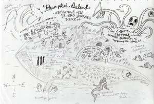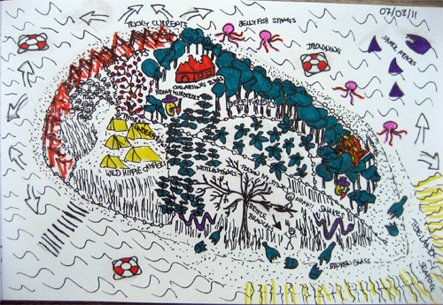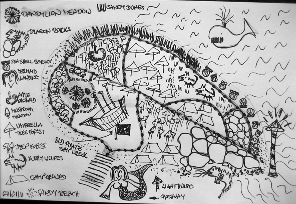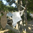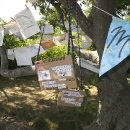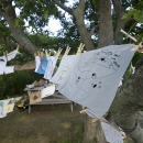

Stamen just posted about an interesting project, [map=yes] where they represent maps in more interesting, even artistic ways… These maps are based on the Open Street Map where people upload their personal GPS data to create their own free maps… I went to Open Street Map and noticed that Bumpkin Island has not been mapped yet. I thought it would be fun to bring a GPS device to the island and actually map our movements there. We can then upload this data to Open Street Map and might be able to visualize it in different ways. In that way, we would create a map not only using pen and pencil but using our bodies moving around on the island. I can probably get a GPS device (your iPhone would work!) and we can start to collect map data while we map the island ![]()
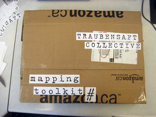
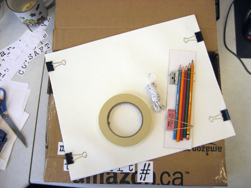
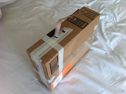
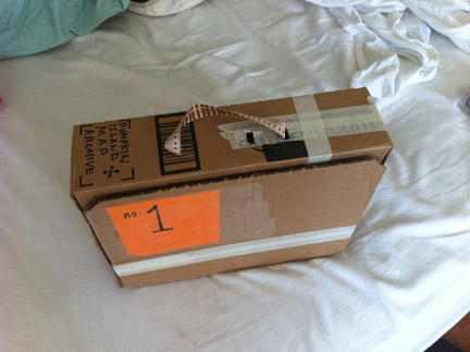
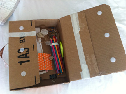
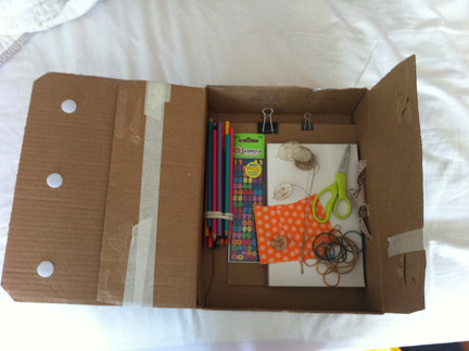
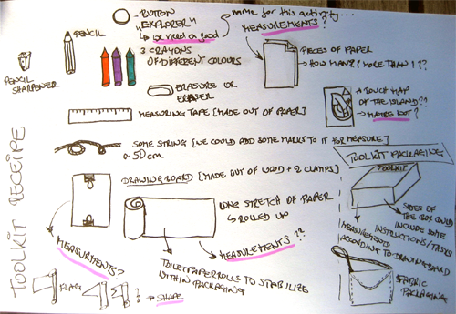
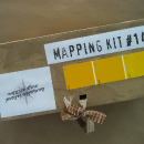
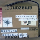
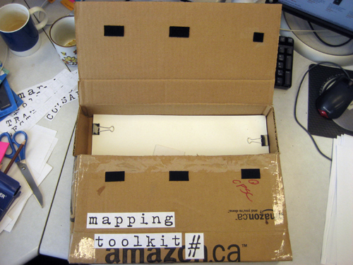
Some possible incredients for the mapping toolkits…
Some questions:
- Will every toolkit be the same?
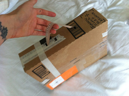
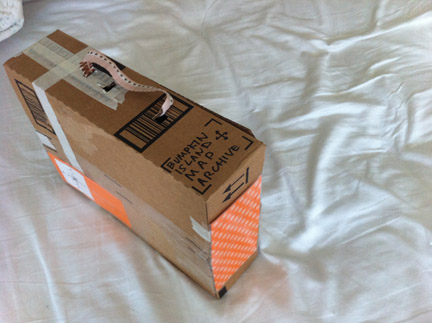
- How should the toolkit packaging look like?
- How should the measurements for maps be? This is also important for us right now since we are starting to create maps to bring to the island…
- How do we call ourselves as map creators and archivers? How do we call visitors who take our toolkits and start to map? We could add this name to the button that is part of the toolkit.
- Button designs?
- What else to put in the toolkit?
